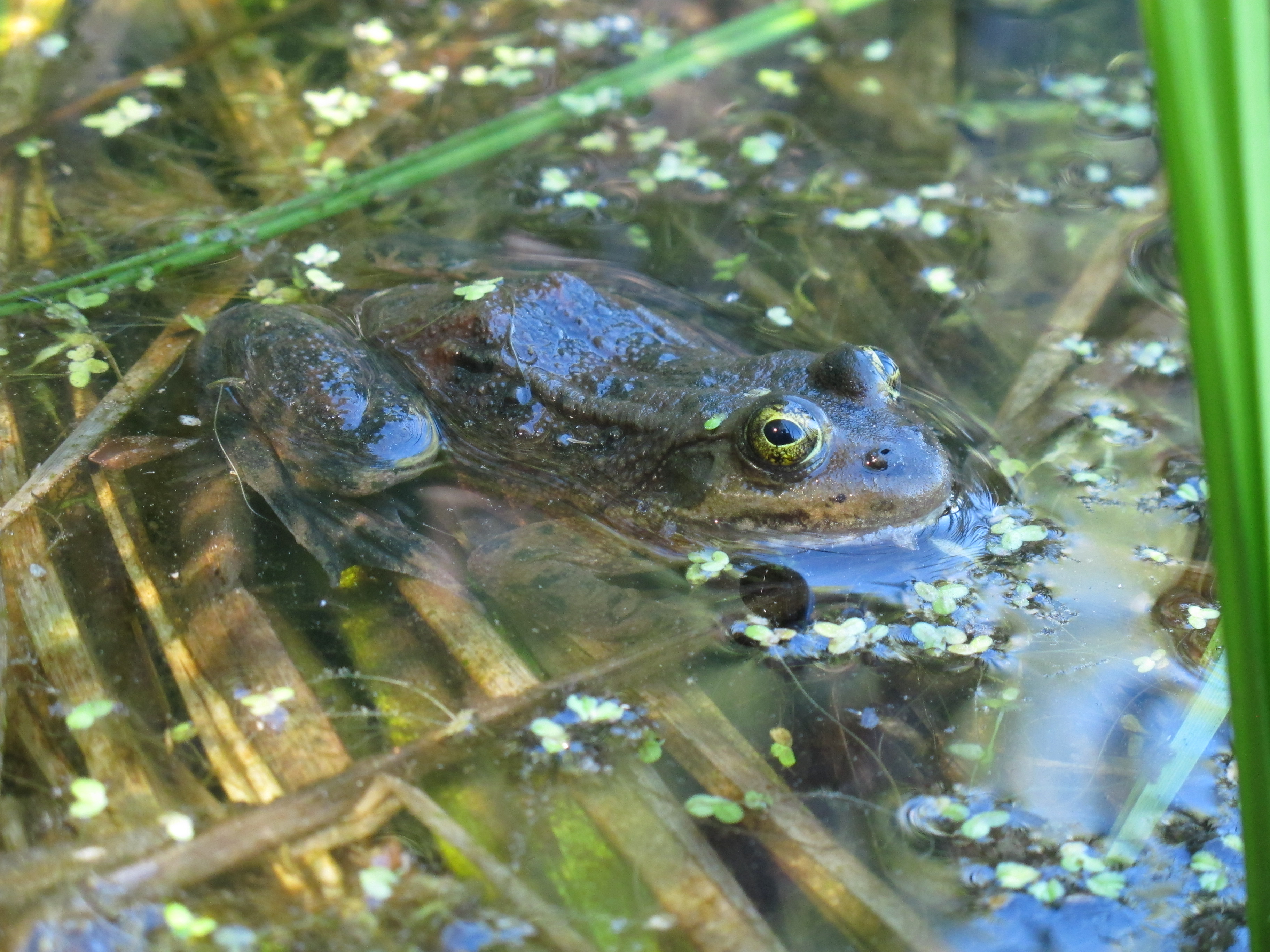
Water
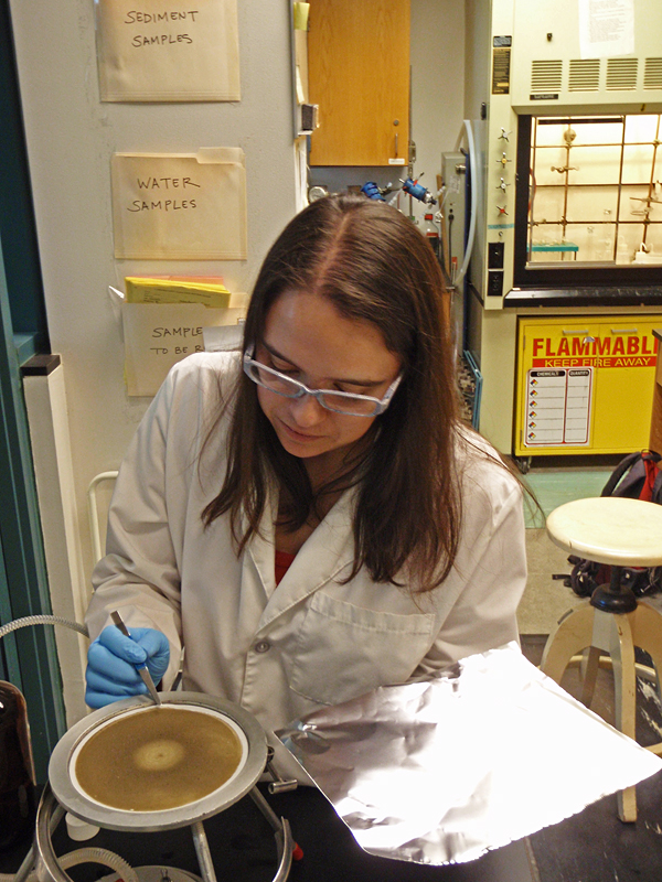
The collaborative design which joins wildlife biologists and hydrologists enables ARMI to ask the kinds of questions it does about the environmental variables that affect amphibians in a truly integrated manner. Understanding how water quality, quantity, or timing affects amphibians is a critical component of ARMI research.
A hydrologist is associated with each ARMI region and works with the ARMI PI to develop and implement research and monitoring projects. These collaborations enable ARMI to ask questions about how water quality (e.g., nutrients, agro-chemicals, acidification), water budgets (e.g., ground and surface water models), storm surge impacts, or other hydrologic conditions can affect amphibian life cycles, disease transport, or habitat quality.
Resources
Hydrologic Investigations
USGS Toxics Substances Hydrology program
Water - ARMI Papers & Reports
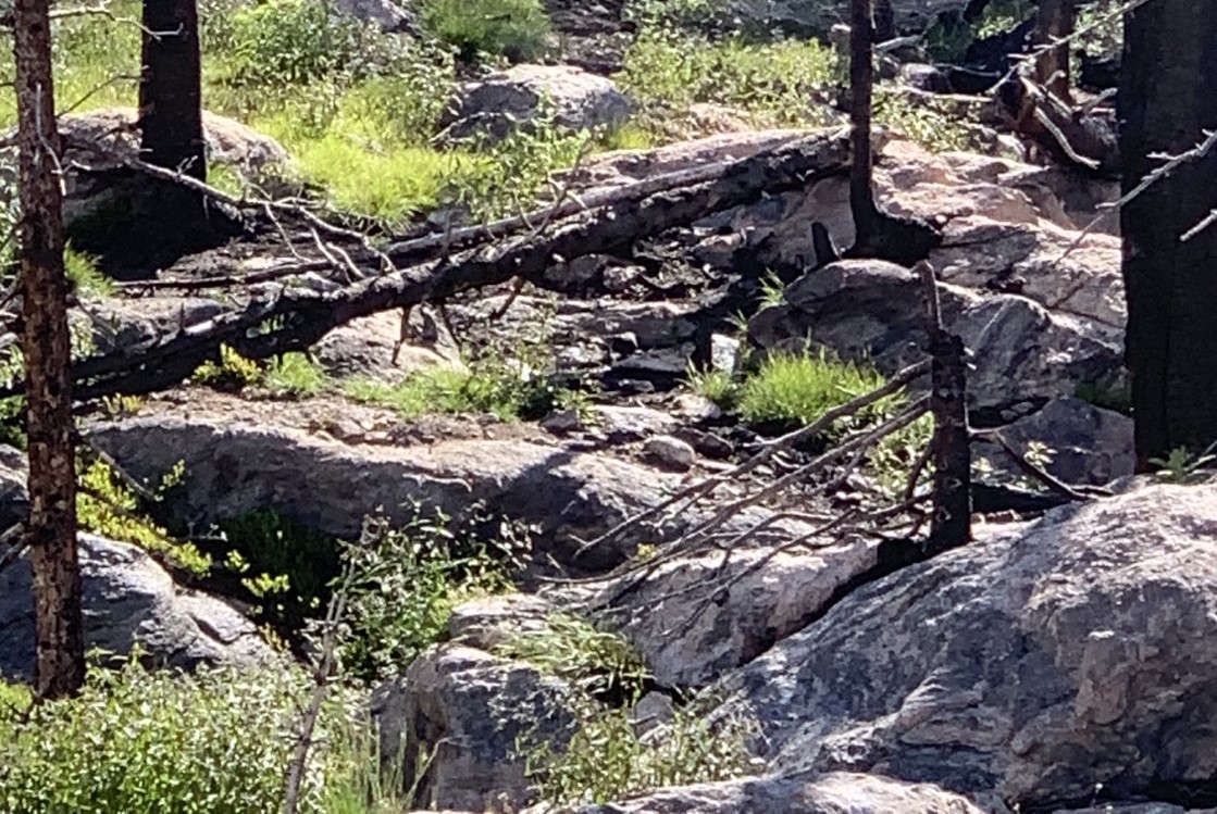
Papers & Reports Unburned habitat essential for amphibian breeding persistence following wildfire.
Papers & Reports Effects of harmful algal blooms on amphibians and reptiles are underreported and underrepresented
Data Release Mercury concentrations in amphibian tissues across the United States, 2016-2021
View All Data Releases on Water
* PDF documents require Adobe Reader or Google Chrome Browser for viewing.